Irrigation Survey
Irrigation Survey
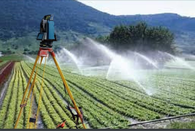
With our advanced software and hardware for assessment, design, and computer drafting, SSIG Geospatial World Pvt. Ltd. provides accurate Irrigation Survey Services for various irrigation projects. We utilize Trimble GPS equipment for both real-time and static surveying applications. To date, we have surveyed and designed over 60,000 hectares of irrigation projects for cotton, small crops, and orchards, as well as conducted surveys for disaster management, including floodplain analysis.
We support our clients through the entire process, from survey analysis and layout design to earthwork planning, preparation of plans, and input into the tendering process. Our technical experts ensure that all specifications and requirements are met to facilitate smooth project execution.