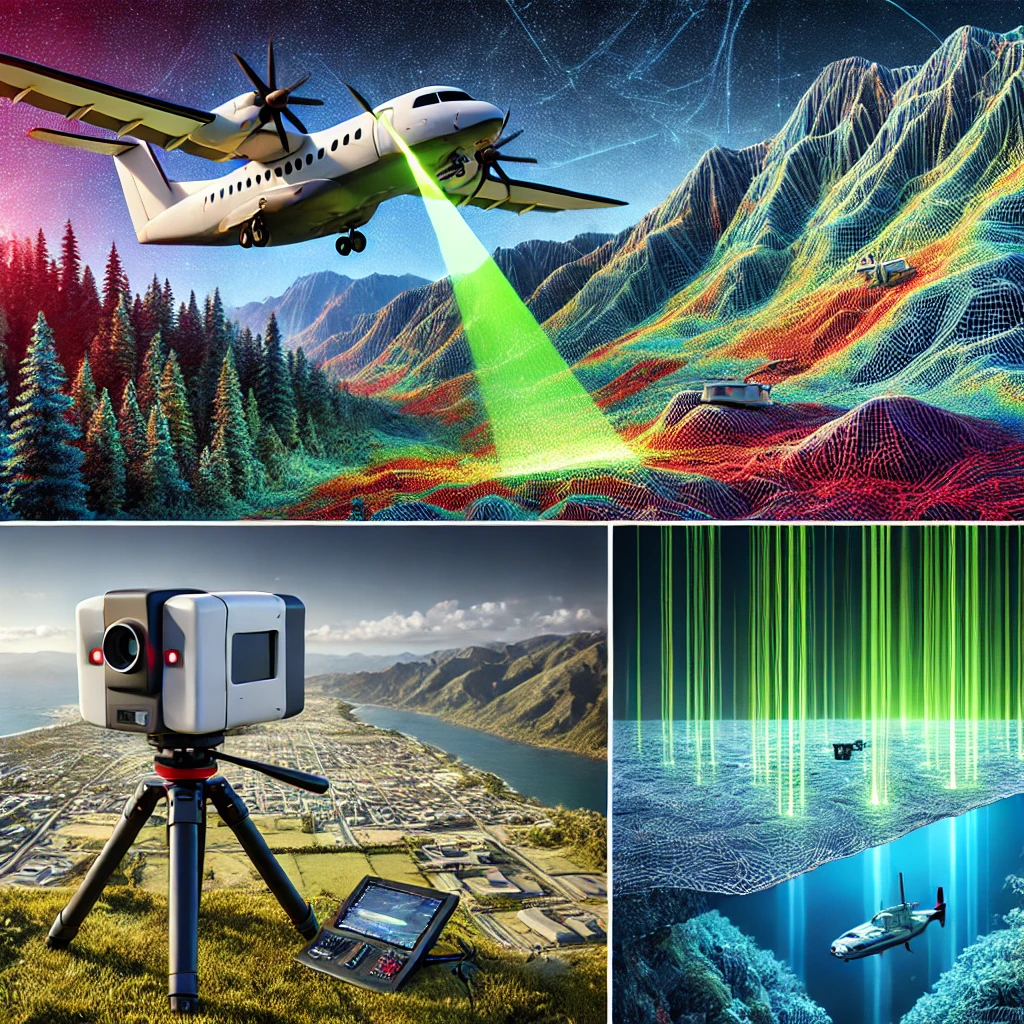
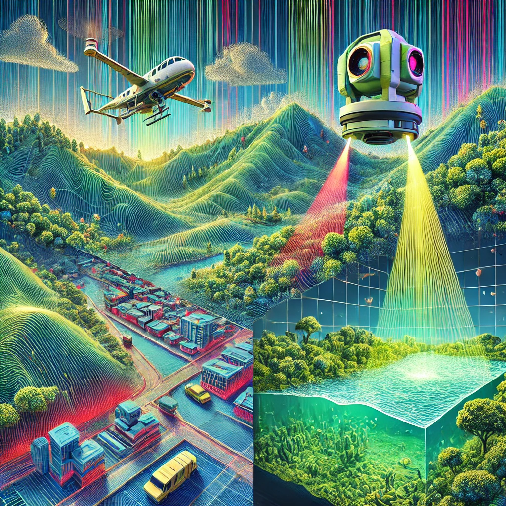
A LiDAR survey is an advanced remote sensing technology that uses laser pulses to measure distances between a sensor and the Earth's surface, producing detailed 3D maps and models. By capturing reflections from terrain, vegetation, or infrastructure, it generates highly accurate point clouds for analysis. LiDAR surveys are widely employed in fields such as urban planning, forestry, disaster management, and environmental monitoring due to their precision and efficiency. Airborne LiDAR is ideal for large-scale mapping of landscapes and coasts, while terrestrial LiDAR focuses on detailed analysis of buildings and infrastructure. Mobile LiDAR captures dynamic data of roads and urban areas, and bathymetric LiDAR maps underwater terrains like riverbeds and seabeds.
The technology is valued for its ability to operate in challenging environments, including dense forests or urban areas, while delivering rapid, high-resolution results. LiDAR surveys support critical applications such as flood risk modeling, transportation planning, deforestation monitoring, and archaeological exploration. Additionally, they provide accurate Digital Elevation Models (DEMs) and Digital Surface Models (DSMs), essential for hydrological studies and infrastructure development. Its versatility and integration with GIS and AI tools continue to expand its role in modern geospatial science.
Lidar Survey
Lidar Survey
Survey Types:
- Airborne LiDAR:Large-scale mapping using aircraft or drones.
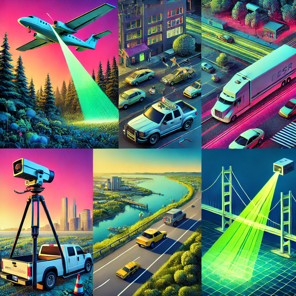
- Terrestrial LiDAR: Ground-based for detailed infrastructure mapping.
- Mobile LiDAR: Vehicle-mounted for dynamic road and urban mapping.
- Bathymetric LiDAR: Measures underwater terrains using water-penetrating lasers.
Advantages:
- High accuracy and resolution.
- Rapid data collection over large or complex areas.
- Effective in diverse environments, including dense vegetation and underwater.
- LiDAR surveys can gather data without disturbing the environment, making it ideal for sensitive areas like wildlife habitats or historical sites.
Integration:
- Often paired with Geographic Information Systems (GIS) and AI for advanced analysis and modeling.
Back to top